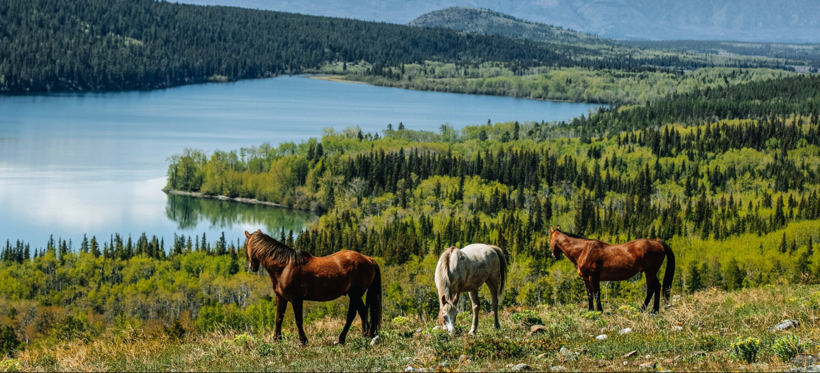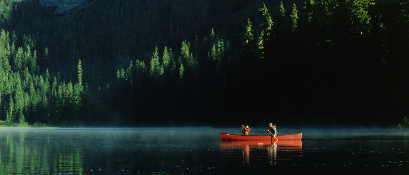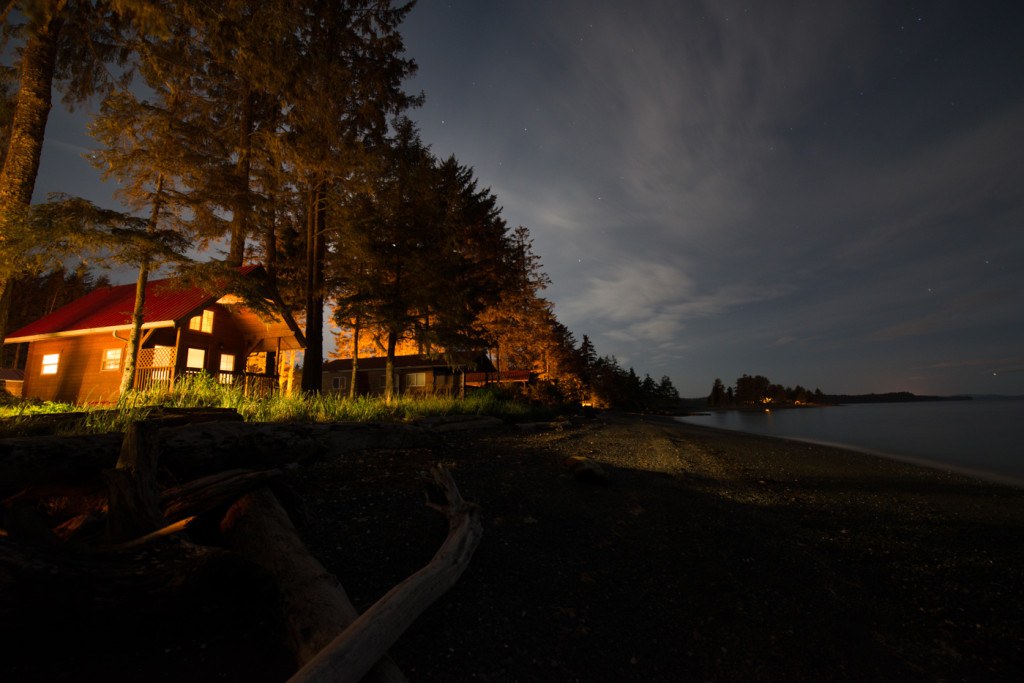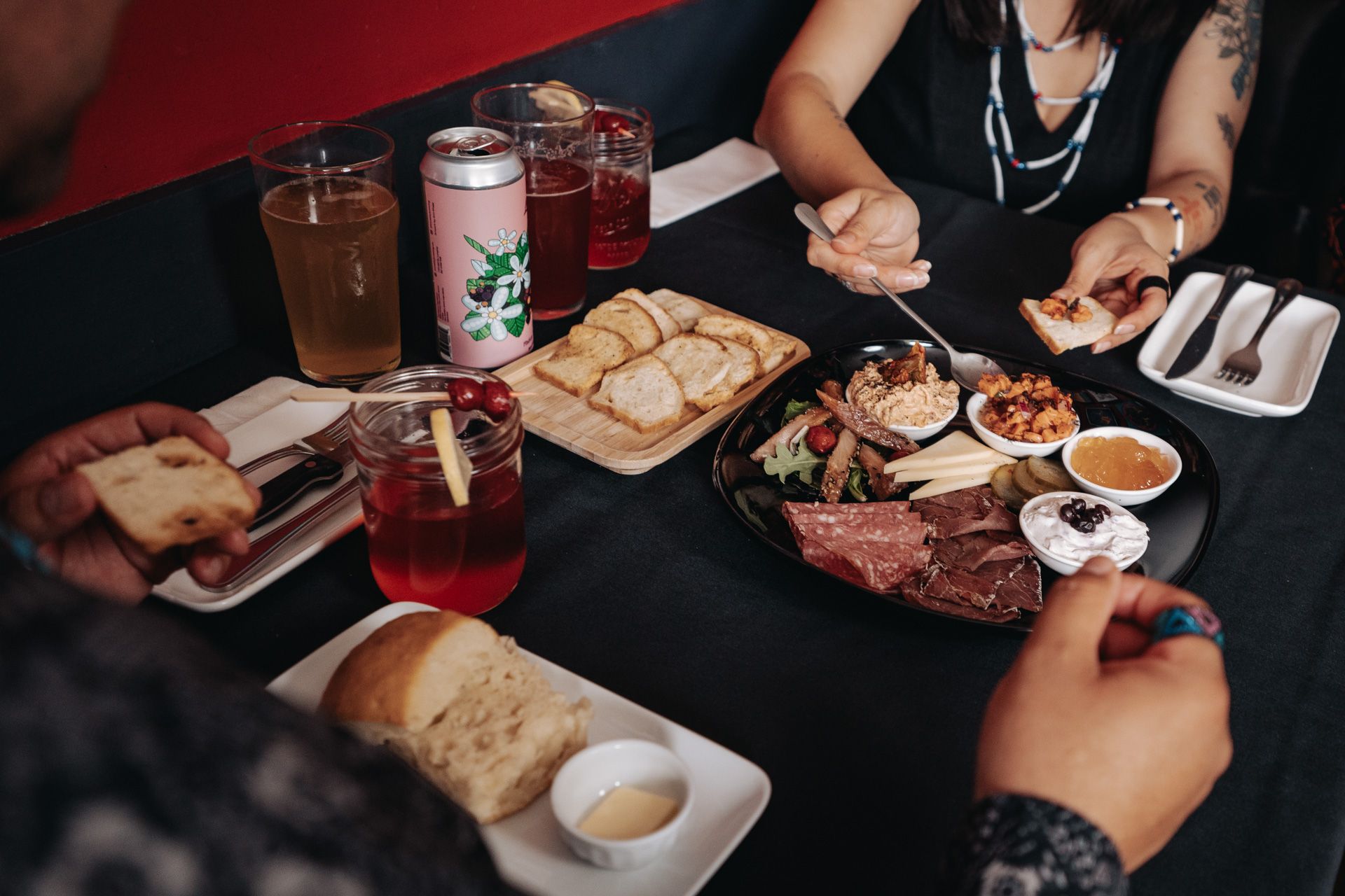
Many distinct Indigenous peoples occupy the unique landscapes of Northern BC.
When driving in Northern BC you will without a doubt drive along Highway 16 between Prince George and Prince Rupert.
Route 16 is A Journey Worth Taking.
This 700-kilometer stretch is navigable in either direction, west to east or east to west. It is home to many Indigenous Nations, communities, and businesses – from Indigenous eateries, guiding outfitters, and museums to camping and other accommodation options.
Discover the world-class system of parks and reserves co-managed and protected by Indigenous communities, where you’ll find ancient rainforests, coastal villages, lava fields, and glacial valleys.
Travel in a straight line or take advantage of the endless opportunities to explore just off Highway 16. This journey is filled with cultural discoveries and breathtaking landscapes.
We encourage travellers to contact tourism operators when planning their trip. Some offers and experiences may change seasonally or according to capacity.
 Driving the Alaska Highway along Muncho Lake, BC.
 Begin in Prince George
The following is a selection of some of our favourite stops and Indigenous experiences along this route.

What to Explore
Prince George, home to Lheidli T’enneh First Nation, is located at the intersection of Highway 97 and Highway 16, where the Nechako River and Fraser River meet.
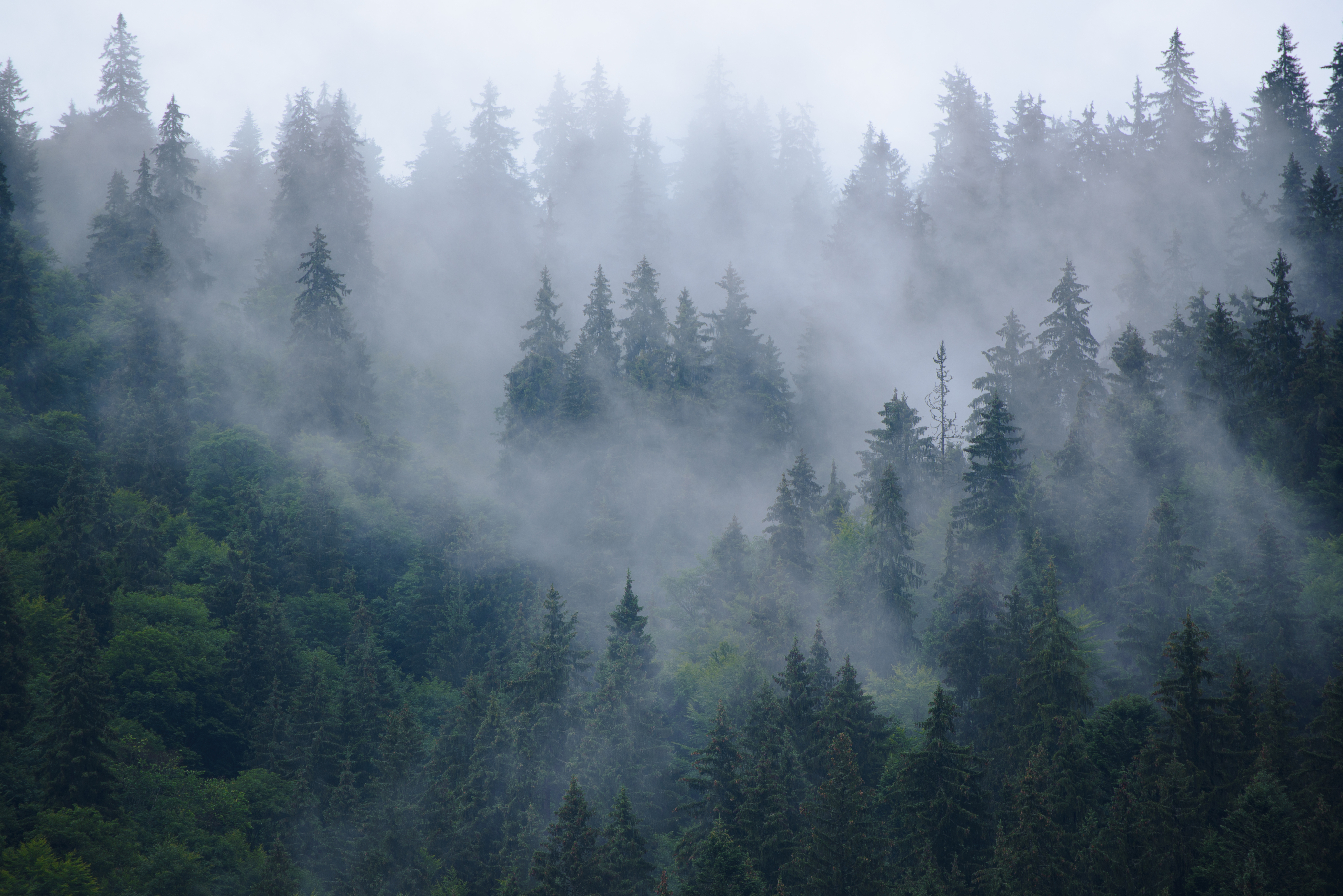
If you are traveling east into Prince George, be sure to visit the hidden treasure that is Chun T’oh Whudujut. Located just off of Highway 16, the Ancient Forest is home to thousand-year-old western red cedars as well as an abundance of plants, mosses, lichens and fungi.
For a detoxifying detour, explore Chun T’oh Whudujut (Ancient Forest), located 120 km east of Prince George. This provincial park features an inland temperate rainforest and thousand-year-old western red cedars accessible via universal access boardwalks.

FROM PRINCE GEORGE TO VANDERHOOF
Approximate Distance from Prince George to Vanderhoof: 100km
What to Explore in Vanderhoof
Continue westward to Vanderhoof, and there you’ll find a charming community known for its proximity to outdoor adventures. Learn about the Carrier and Stellat’en First Nations, who have a deep connection to the area’s natural surroundings.
What to Eat
If you’re feeling hungry, need to fill your tank or looking to stock up on sundries, Indigenous-owned G & F Market is located just south of Vanderhoof and boasts the best pizza around.
 Driving down the backroads in Northern BC
  Grizzly bear eating sedge grass near Prince Rupert.
FROM VANDERHOOF TO BURNS LAKE
Approximate Distance from Vanderhoof to Burns Lake: 128 km
What to Explore in Burns Lake
With its endless pristine shorelines, the Lakes District is the perfect place for fishers, boaters, kayakers, canoers, paddle boarders, and other water sports enthusiasts to pause and set up home base. Burns Lake is known as the mountain biking capital of BC. Head to Burns Lake Mountain bike park with your crew to ride the almost 100 km network of world-class mountain biking trails on Boer Mountain and its surrounding ridges. The trails are free to use, open year-round, and accommodate all riding levels.
Where to Stay
Check in to Indigenous-owned Key Oh Lodge in Burns Lake, with 42 well-appointed guest rooms, 24/7 front desk services, daily housekeeping, and a breakfast bar.
 Family taking their canoe rental to the lake
  Mountain Biking at Boer Mountain trails in Burns Lake.
FROM BURNS LAKE TO SMITHERS AND WITSET
Approximate Distance from Burns Lake to Smithers: 143km Approximate Distance from Smithers to Witset: 34km
What to Explore in Witset (Hazelton)
Travel west through Telkwa, a picturesque village along the Bulkley River, and reach Smithers. Immerse yourself in the local culture by witnessing Witsuwit’en fishers practicing dip netting and exploring the Widzin Kwah Canyon House Museum.
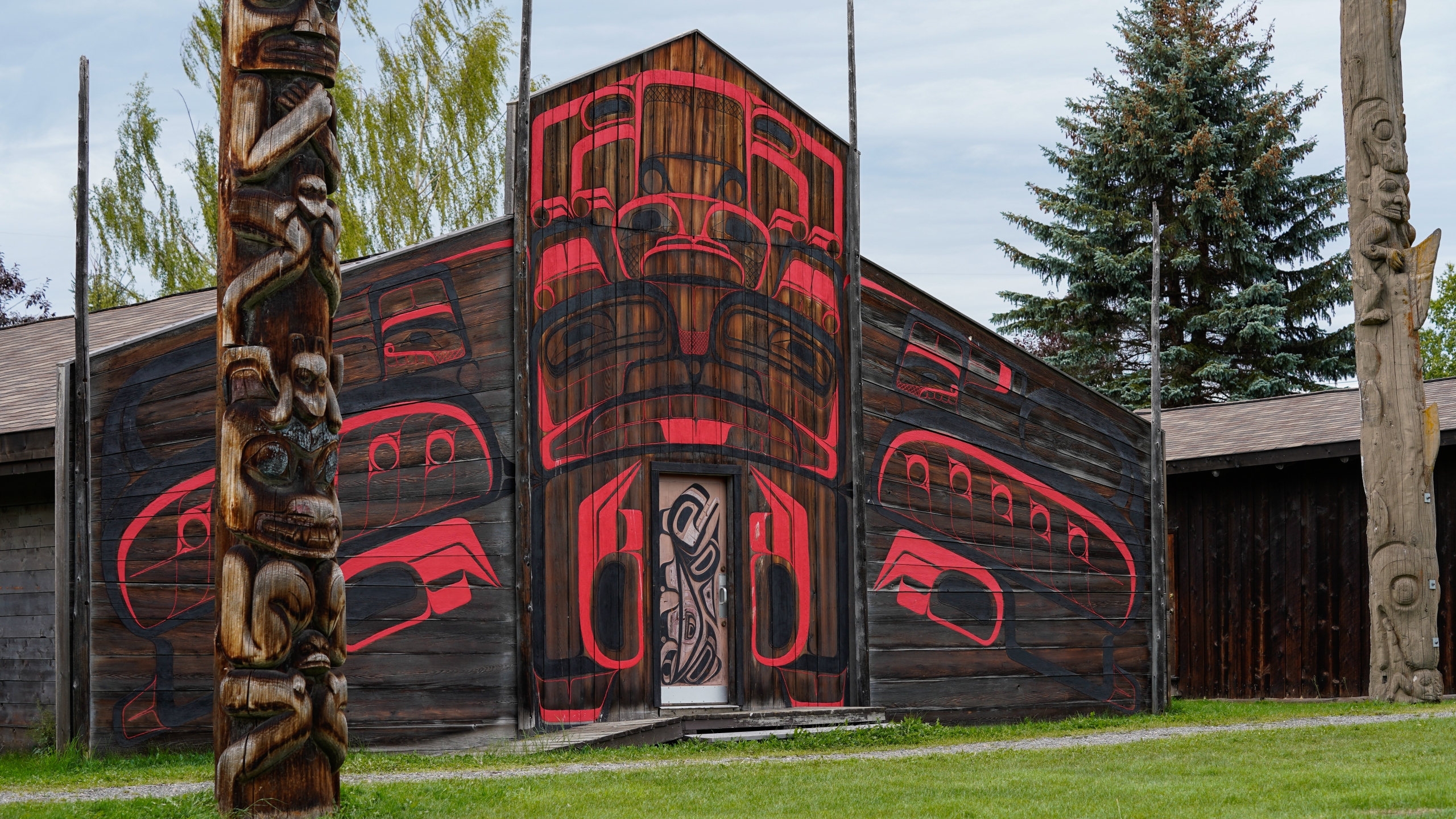
Drive towards Old Hazelton and visit ‘Ksan Historical Village and Museum, where you can walk amongst traditional longhouses and totem poles. Experience a guided tour and explore the museum to learn the ways of the Gitxsan peoples.
Where to Stay
Located on the Yellowhead Highway 16 circle tour route to Alaska, stay at Witset RV Park & Campground. Enjoy accessible facilities and stunning views of Widzin Kwah Canyon as well as access to world-class salmon fishing.

 Hagwilget Canyon Bridge
  Dipnetting for Salmon in the Moricetown Canyon in Witset.
 FROM WITSET TO TERRACE
Approximate Distance from Witset to Terrace: 170km
What to Explore in Terrace
Visit the House of Sim-Oi-Ghets in Terrace offers traditional and contemporary First Nation arts and crafts. Open Friday to Sunday, this gift shop is owned and operated by Kitsumkalum, a Galts’ap (community).
Pre-booked your fishing adventure yet? Westcoast Fishing in Terrace operates in a world class fishing destination with 20 years of guiding experience on the Skeena, Nass & Kitimat Rivers.
Where to Stay
Wyld North Outfitters in Terrace offers self-contained, well-equipped campervan rentals that make everywhere home. Wyld North Outfitters also offers adventure planning tips and expert advice on local exploration.
 NIsga'a carver George McKay at the George Little House in Terrace.

FROM TERRACE TO NISGA’A LANDS
Approximate Distance from Terrace to New Aiyansh: 100km
What to Explore
Stock up on supplies and fill your car in Terrace and head north on Highway 113 through Kitwanga and Gitwanyow to Cranberry Junction.
Stop in Gitlaxt’aamiks (New Aiyansh) and Anhluut’ukwsim Laxmihl Angwinga’asanskwhl or Nisga’a Memorial Lava Bed Park, jointly managed by the Nisga’a and BC.
Book a guided tour with Nass Valley Tours to receive access through old-growth forests to the volcanic cone and crater. The guided tours are hosted by request (Thursdays, Saturdays, Sundays at 1 PM.)
Drive less than an hour to Laxgalts’ap for a visit to the Nisga’a Museum, open Wednesday to Sunday, 10 AM–5 PM from Victoria Day long weekend through Thanksgiving. Anhooya’ahl Ga’angigatgum’, the Ancestors’ Collection, includes over 300 Nisga’a cultural treasures that have returned home from around the world.
Visitors can learn more about Nisga’a culture and the local land by downloading this self-guided auto tour with 18 stops that include all four villages, Hlgu Isgwit (Hot Springs), and Vetter Falls.

Where to Stay
Call ahead and stay at Nass Valley Bed and Breakfast, nestled on 172 acres in the mountains of the Nass Valley.
Another option is Vetter Falls Lodge in the heart of Anhluut’ukwsim Laxmihl Angwinga’asanskwhl or Nisga’a Memorial Lava Bed Park. The lodge is owned by Nisga’a Nation and includes a main lodge and a smaller cabin, with kayak and bicycle rentals available.
Where to Eat
U See Food U Eat It: Taste the bounty of the sea at this popular fish and chips eatery that also serves butter clams, halibut burgers, halibut chowder, and seafood chowder. Hours: 11:30 AM—7 PM, seven days a week.
Welcome House: Overlooking the brilliant green of K’alii-Aksim Lisims and the beautiful, lunar-like landscape of the Nisga’a lava beds, Welcome House features a gift shop selling local Nisga’a arts, crafts, and gifts. Come in and browse, then stay for lunch, or take coffee and baked goods to go.


FROM TERRACE TO PRINCE RUPERT
Approximate Distance from Terrace to Prince Rupert: 144km
Explore on the Way
Grab a coffee–you won’t want to miss a thing on this leg of the journey. The drive from Terrace to Prince Rupert is surely one of the most beautiful drives in BC. Be sure to stop at some rest stops for some Insta-worthy moments.
Stay on the Way
Kitsumkalum also welcomes guests to its Kasiks Wilderness Resort, located 60 km west of Terrace and 90 km east of Prince Rupert. Kasiks is a perfect stop if you want to spend a little more time along the Skeena or make it your home base for exploring the northwest coast. The resort offers camping and lodge accommodations and a cafe open daily from 9 AM to 5 PM.

Arrival in Prince Rupert
Where to Stay
The Crest Hotel in Prince Rupert is a premier waterfront property offering luxurious accommodations and breathtaking views. With amenities such as a fully equipped gym, outdoor hot tub, and three exceptional dining options, guests can enjoy a well-rounded experience that combines comfort, relaxation, and culinary delights during their stay.
Where to Eat
Take in the ocean and grab a bite to eat at Bob’s on the Rocks in Prince Rupert, an Indigenous community-owned business. Open seven days a week, Bob’s offers its famous fish and chips and other wild, sustainable, and locally caught seaside eats at Rushbrook Flats.
Owned by the Gitmaxmak’ay Nisga’a Society, Yaga Cafe offers coffee & tea, sandwiches and homegrown salads harvested fresh from the hydroponics greenhouse onsite.
Situated on the lower lobby level, the Crest Café within the Crest Hotel provides a convenient dining option. Guests can enjoy a variety of offerings, including freshly brewed Starbucks specialty coffee, a selection of sandwiches, daily soup, salads, muffins, pastries, lunch and dinner entrees and more. With complimentary iPads available, it’s an ideal spot to unwind, savour a cup of coffee, and attend to emails.
At the Waterfront Restaurant inside the Crest Hotel, guests may need a moment to fully appreciate the menu, as the captivating views of Prince Rupert Harbour and Tuck Inlet steal their attention. Chef Willy Beaudry and the esteemed kitchen team bring a fresh perspective to North Coast cuisine, infusing it with a unique blend of international styles and a delightful abundance of Pacific Northwest flavours that shine throughout the menus.
Charley’s Lounge, located inside the Crest Hotel, is a beloved destination for both locals and visitors, offering a delightful oceanfront setting and a heated deck. Their extensive wine list perfectly complements their enticing menus.


What to Explore
Spend an afternoon at the Museum of Northern British Columbia, a Northwest Coast longhouse overlooking Prince Rupert Harbour. The museum is internationally known for its collection of thousands of works of art and life belonging to living Indigenous communities in the area.

The Choice is Yours
Make Prince Rupert your final destination–or your starting point if you’re heading to Haida Gwaii on BC Ferries or transferring to the Alaska Marine Highway System to explore Alaska’s Inside Passage.


Make Memories in Northern British Columbia
Whether you’re seeking outdoor adventures or immersing yourself in Indigenous heritage, this road trip through Northern British Columbia will leave you with unforgettable memories.

